Chasing Clear Horizons by the Sea

Tonight we dive into Maritime Weather and Sea Fog: Predicting Clear Nights by the Ocean, blending practical science with shoreline instincts, coastal lore, and field-tested cues. You’ll learn how wind, water temperature, and the marine layer dance from sunset to midnight, why some coves clear while nearby piers stay gray, and how to time your arrival for still air, quiet surf, and breathtaking starfields. Share your observations, ask questions, and help refine a living coastal playbook for fellow night walkers, photographers, navigators, and dreamers.

Decoding the Marine Layer

Understanding the low cloud deck that hugs coasts is half weather, half story. The marine layer forms when cool sea-surface temperatures chill humid air, building a shallow, stable blanket that can smother beaches by day. Yet subtle shifts—offshore flow aloft, slight warming inland, or a tightening pressure gradient—can pull back the gray after sunset. Recognizing advection fog versus radiation fog, and spotting a strengthening inversion, turns guesswork into confident planning for stargazing, long-exposure photos, quiet reading, or late-night shoreline wanders.

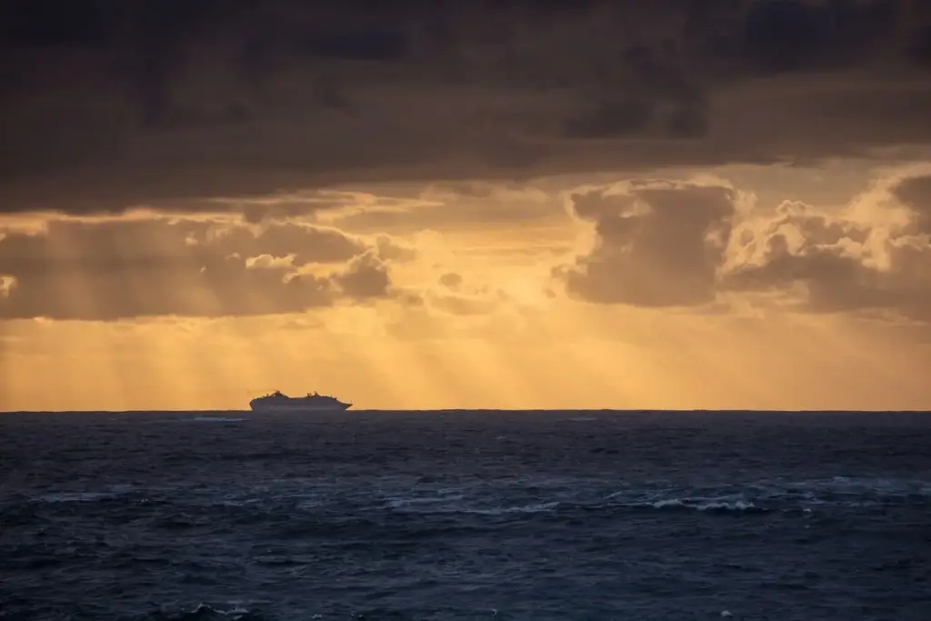
Reading Water, Wind, and Sky at Dusk

Cloud Textures That Whisper About Overnight Clearing

Uniform, featureless gray tends to persist, especially when the base feels low and damp against cliffs. But dappled, mottled textures, faint ripples, or uneven gaps hint at growing turbulence and weakening stability. A sliver of bronze sky along the western edge can broaden after nightfall if a gentle offshore push aloft materializes. Remember, the final twenty minutes before full darkness often decide the night’s fate; stay observant, warm, and flexible as patterns reveal themselves layer by delicate layer.

Wind Shifts That Tell Coastal Stories

At dusk, sea breezes can falter while land breezes and drainage winds quietly awaken, sliding from canyons and low passes. A subtle backing of the wind toward north or northeast can shave moisture from the boundary layer, nudging fog to retreat from points and piers first. However, a stubborn onshore puff returning after sundown frequently recharges the gray. Use flags, harbor winds, and palm fronds as visual anemometers, blending their movements with buoy and airport reports to sense the turning tide.

Swell, Tides, and the Breath of the Shore

Although swell and tides don’t create fog directly, they shape shoreline experience and your patience window. Long-period, evenly spaced waves can lift spray subtly into cool air, marginally moistening the near-surface layer. Falling tides may expose darker, drier sand that warms faster under leftover twilight, helping a fragile land breeze. Meanwhile, gentle currents around jetties can pull cooler ribbons of air along channels. Treat these elements as background rhythm, harmonizing with wind shifts and inversion changes to guide expectations.

Data That Makes Confidence Possible

Numbers become trustworthy when woven into narrative. Pair coastal webcams with METARs, TAFs, and buoy feeds for a living snapshot: haze thickness, wind vectors, sea-surface temperature, and dew point depression. Overlay satellite loops—especially night-visible and fog/low-stratus products—with high-resolution models like HRRR or NAM Nest to test short-term trends. Skew-T profiles expose inversion strength; coastal wind profilers reveal shallow jets. Keep notes comparing model clearing times against real pier lights and lighthouse beams, then refine your personal coastline confidence meter night by night.

Using Buoys, METARs, and Webcams Without Drowning in Numbers

Focus on a few anchors: a representative buoy upwind, the nearest coastal airport METAR, and one reliable webcam with wide sky. Cross-check wind direction, gusts, temperature, and dew point every thirty minutes near sunset. If webcam brightness subtly grows seaward while dew point spread increases and winds back even slightly offshore, your odds of a clear midnight rise. Keep a compact log of these alignments, then compare across different capes and coves to discover repeatable, place-specific success patterns.

Satellite and Model Pairing for the Golden Hour to Midnight

Shortwave infrared and night-visible imagery can separate low clouds from higher decks after sunset, revealing thinning edges or strengthening cores. Loop those frames while watching model-predicted marine layer depth and inland heating gradients. If models show a tightening thermal contrast inland and a slackening onshore gradient, thinning often begins along wind-exposed points first. Flag disagreements between models and satellite reality; the sky wins every argument. Use these mismatches to recalibrate trust levels and fine-tune your evening travel plans.

Soundings and Cross-Sections That Reveal Hidden Clarity

Skew-Ts expose whether a warm cap suppresses mixing or if a gentle lapse rate invites cloud rupture. Coastal cross-sections from mesoscale models illustrate marine layer thickness along transects from sea to inland hills. When the inversion lowers and dries slightly after sunset, haze can fragment even if surface winds remain light. Look for a shallow offshore flow just above the surface, sometimes invisible at ground stations. That whisper of wind can peel fog from bluffs, unveiling clean, star-pierced skies.

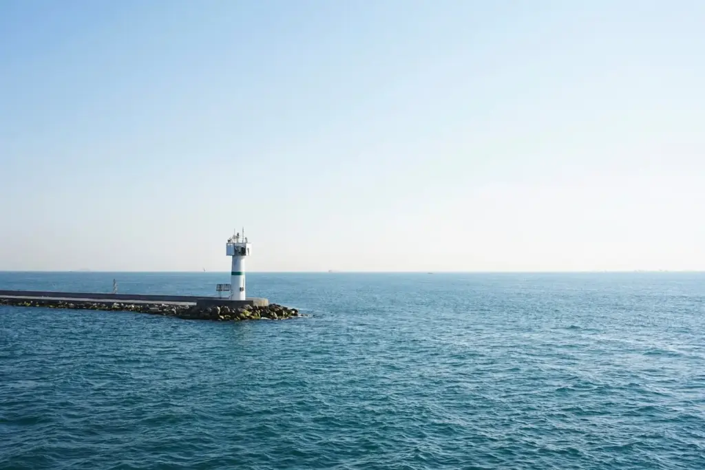
Headlands, Bays, and the Sneaky Back-Eddies

Promontories jut into wind, encouraging shear and mixing that can fracture the marine layer from the outside in. Meanwhile, bays nurture gentle recirculations that sneak fog back along breakwaters even after apparent clearing. Study wind roses for your favorite points, and notice how small direction shifts favor either escape or entrapment. Keep an eye on lighthouse beams or harbor cranes disappearing and reappearing, using them as living range markers to judge visibility trends without requiring any specialized instrumentation beyond patient attention.

Upwelling Lines and Sea Surface Temperature Gradients

Coastal upwelling brings colder water to the surface, intensifying local fog risk when onshore breezes prevail. Satellite SST charts often reveal sharp boundaries where fog banks bloom on the cold side and diminish on the warm side. If late-afternoon warming nudges air temperatures just above the chilly water, watch for fog to pulse shoreward. Conversely, a slightly warmer tongue of water near a pier might tip conditions toward thin stratus or even patchy clearing by night, especially with soft offshore drainage.

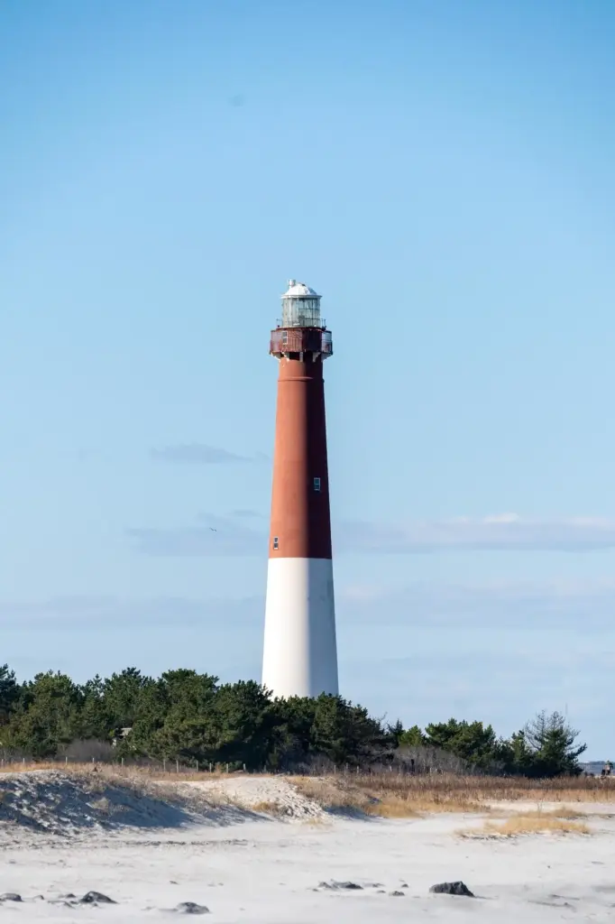
A Photographer’s Checklist for Crisp Horizons

Pack a sturdy tripod, remote release, and a cloth to gently brush droplets from filters. Favor fast primes for starfields, but keep a sealed zoom ready for shifting compositions as clouds fracture. Note dew point forecasts and carry chemical warmers for lens bands when marginal. Place your bag on a dry mat to avoid wicking fog. If clearing begins, shoot silhouettes against the first clean gap, then pivot seaward quickly as clarity spreads. Share your settings and locations afterward to help others learn responsibly.

Stargazers’ Guide to Beating the Marine Haze

Choose vantage points with slight elevation above the usual fog base, like bluffs or coastal ridgelines. Use sky quality apps and cross-check transparency reports against webcam trends. Bring a modest telescope or binoculars with dew shields, plus a thermos to keep comfort high. Practice dark adaptation with red light only, and give your eyes time as the horizon cleans. If the deck refuses to budge, pivot to listening: surf rhythms and lighthouse calls create their own constellations, worthy of patient attention.

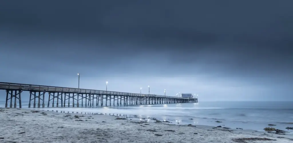
Fisherfolk and Paddlers Navigating Gray to Clear

For night anglers and paddlers, clarity affects navigation, safety, and bite timing. Study tide changes alongside wind forecasts to anticipate fog motion near harbor mouths. Carry redundant lights, a whistle, and GPS or a reliable chart app. If stars appear, horizons sharpen, aiding situational awareness. But caution wins; clearing can reverse without warning. Log which jetties clear first after evening ebb, and share lessons with your dock neighbors. That community wisdom, layered over data, protects both adventure and homecoming.

Stories, Lessons, and Gentle Warnings

A coastline remembers. One July evening, gray clung stubbornly until a whisper from inland teased it apart, revealing a necklace of bright harbor lights and a Milky Way spill by midnight. Another night, a sneaky eddy sealed the breakwater in silver milk while a nearby headland basked under stars. Hold plans lightly, cherish small openings, and debrief with friends. Drop your notes in the comments, subscribe for field updates, and help us build a kinder, wiser circle of coastal night companions.
Sanopiradexo
Privacy Overview

This website uses cookies so that we can provide you with the best user experience possible. Cookie information is stored in your browser and performs functions such as recognising you when you return to our website and helping our team to understand which sections of the website you find most interesting and useful.