Chasing Clear Horizons by the Sea
Decoding the Marine Layer

Reading Water, Wind, and Sky at Dusk
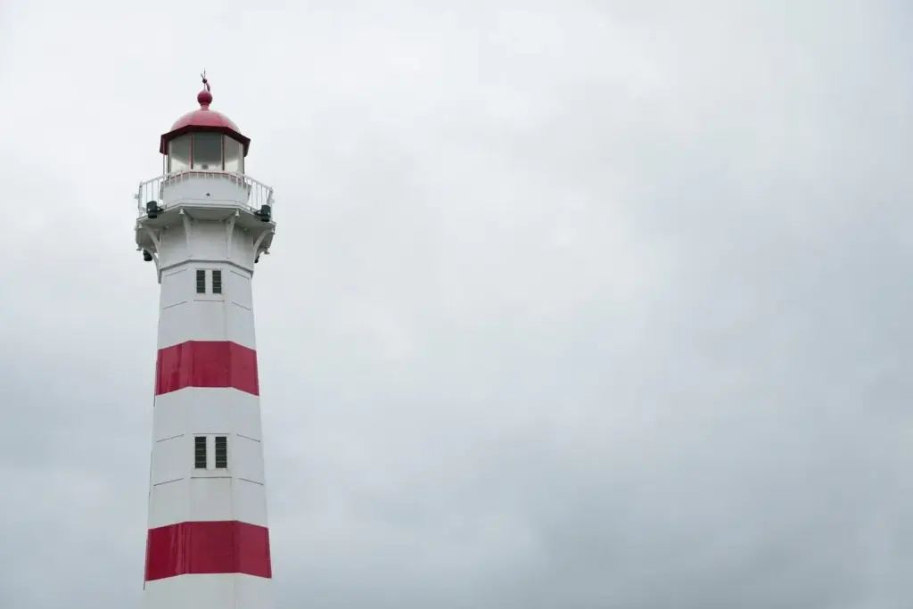
Cloud Textures That Whisper About Overnight Clearing
Wind Shifts That Tell Coastal Stories
Swell, Tides, and the Breath of the Shore
Data That Makes Confidence Possible
Using Buoys, METARs, and Webcams Without Drowning in Numbers
Focus on a few anchors: a representative buoy upwind, the nearest coastal airport METAR, and one reliable webcam with wide sky. Cross-check wind direction, gusts, temperature, and dew point every thirty minutes near sunset. If webcam brightness subtly grows seaward while dew point spread increases and winds back even slightly offshore, your odds of a clear midnight rise. Keep a compact log of these alignments, then compare across different capes and coves to discover repeatable, place-specific success patterns.
Satellite and Model Pairing for the Golden Hour to Midnight
Shortwave infrared and night-visible imagery can separate low clouds from higher decks after sunset, revealing thinning edges or strengthening cores. Loop those frames while watching model-predicted marine layer depth and inland heating gradients. If models show a tightening thermal contrast inland and a slackening onshore gradient, thinning often begins along wind-exposed points first. Flag disagreements between models and satellite reality; the sky wins every argument. Use these mismatches to recalibrate trust levels and fine-tune your evening travel plans.
Soundings and Cross-Sections That Reveal Hidden Clarity
Skew-Ts expose whether a warm cap suppresses mixing or if a gentle lapse rate invites cloud rupture. Coastal cross-sections from mesoscale models illustrate marine layer thickness along transects from sea to inland hills. When the inversion lowers and dries slightly after sunset, haze can fragment even if surface winds remain light. Look for a shallow offshore flow just above the surface, sometimes invisible at ground stations. That whisper of wind can peel fog from bluffs, unveiling clean, star-pierced skies.
Headlands, Bays, and the Sneaky Back-Eddies
Upwelling Lines and Sea Surface Temperature Gradients
A Photographer’s Checklist for Crisp Horizons

Stargazers’ Guide to Beating the Marine Haze
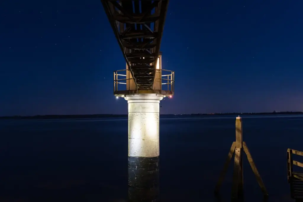
Fisherfolk and Paddlers Navigating Gray to Clear

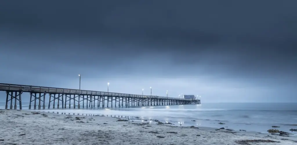
Stories, Lessons, and Gentle Warnings
All Rights Reserved.